
If you have heard the words "Valley Link" but are not sure what they mean for Fluvanna, you are in good company. This is a plain-language start.
What is proposed
Valley Link is a proposed 765-kV (765,000-volt) transmission project. The Joshua Falls to Yeat line would run roughly 115 miles from Campbell County to Culpeper County. Preliminary materials show routes through several mostly rural counties, including Fluvanna. The developer is a joint venture of Dominion Energy, FirstEnergy Transmission and Transource Energy.
How big is it?
Towers are typically 150 to 175 feet tall, about the height of a 15- to 17-story building. The new corridor would be about 200 feet wide. Valley Link says a line this size can carry enough electricity for roughly 2 million homes.
An average adult is about 6 feet tall. A two-story house is about 25. A Valley Link tower can reach up to 175.
Why 765 kV?
Higher voltage moves more power over longer distances with less loss. That is why grid planners reach for it, and it is a fair point in the line's favor. The question for Fluvanna is not whether 765-kV technology works. It is whether this line, at this size, on this route, is needed, and whether less damaging alternatives were fully examined.
Why is Fluvanna on the map?
Because the demand is not here. Fluvanna does not have the kind of electricity growth driving this project. The major growth is farther north, where data centers and other large power users are pushing demand up fast. A line built to serve that demand can still cross every county between the source and the customer.
Their power demand. Our landscape.
Why it could be permanent
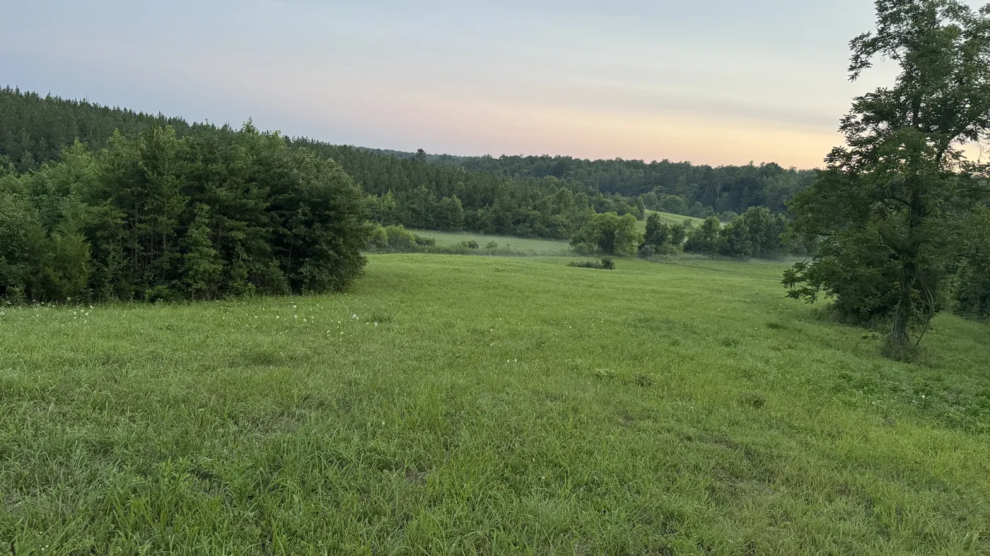
A new corridor could cross farms, forests, waterways, homes and historic and cultural resources. Towers that tall affect views and communities well beyond the right-of-way. Once a major corridor exists, it tends to shape the landscape for generations.
What we are asking
- Prove the need. Show current, independently verifiable data.
- Examine the alternatives. Existing corridors, upgrades, co-location, staged solutions.
- Minimize the harm. Protect homes, farms, forests, waterways and history.
What you can do today
Read the facts, join the update list, and, if a preliminary route may affect property you own or use, read the self-guidance. The project is proposed, not predetermined.